Cameron Berger · 8 September 2026
Examining the Interplay Between Ultrafine Canopy Elements and Satellite Imagery Resolution in Remote Sensing Applications
Remote sensing platforms capture forest canopies through sensors that record reflected electromagnetic radiation, yet the smallest structural components within those canopies create complex interactions with pixel size and spectral bands. Ultrafine canopy elements include leaves, twigs, and petioles often smaller than five centimeters, and their arrangement influences how light scatters before it reaches orbital sensors. Researchers at institutions across multiple continents continue to quantify these interactions because accurate biomass estimates and biodiversity mapping depend on them.
Characteristics of Ultrafine Canopy Elements
Forest canopies contain layered structures where the uppermost leaves and branches intercept most incoming solar radiation while lower strata receive diffuse light that has already interacted with finer elements above. Studies using ground-based LiDAR reveal that elements thinner than one centimeter contribute disproportionately to multiple scattering events, which in turn modify the spectral signature recorded by satellites. Data from temperate and tropical sites show that these small components account for up to thirty percent of total leaf area index even though they occupy far less volume than main stems and primary branches.
Satellite Sensor Resolution Parameters
Spatial resolution determines the ground area represented by each pixel, while spectral resolution governs the number and width of wavelength bands recorded. Sensors with pixel sizes of ten meters or larger integrate signals from many ultrafine elements plus gaps and shadows, producing averaged reflectance values that obscure individual structural contributions. In contrast, sub-meter commercial systems separate some larger branches yet still blend signals from the smallest twigs and leaves. Temporal resolution adds another layer because seasonal leaf flush and abscission alter the proportion of ultrafine elements visible at any given acquisition date.
Observed Interactions Between Elements and Resolution
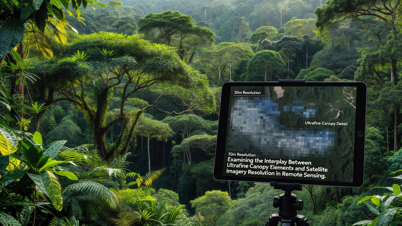
When pixel size exceeds the scale of ultrafine elements, the resulting mixed pixels reduce the contrast between sunlit and shaded foliage, which affects vegetation indices such as NDVI and EVI. Field campaigns coordinated by European and North American teams demonstrate that increasing spatial resolution from thirty meters to one meter improves correlation with ground-measured leaf area by fifteen to twenty-five percent in deciduous stands, although gains diminish once pixels become smaller than the dominant leaf clusters. Spectral mixing models further indicate that narrow red-edge bands help isolate chlorophyll absorption features modified by multiple scattering from fine twigs, whereas broad visible bands lose sensitivity. Observers note that atmospheric correction accuracy also becomes critical at finer resolutions because path radiance and adjacency effects grow relatively larger when the target signal originates from small canopy fractions.
Applications in Ecosystem Monitoring
Forestry agencies use refined resolution data to estimate timber volume and carbon stocks, particularly where understory regeneration contributes significant leaf area that coarser sensors overlook. Ecologists map habitat suitability for arboreal species whose foraging depends on the distribution of fine branches and young leaves. In September 2026 several international missions plan coordinated acquisitions over long-term ecological research sites, allowing direct comparison of new sensor constellations against legacy datasets. Such campaigns help validate radiative transfer models that explicitly incorporate ultrafine element geometry rather than treating canopies as homogeneous turbid media.
Methodological Advances and Data Integration
Multi-scale approaches combine airborne hyperspectral imagery at sub-meter resolution with satellite time series to bridge the gap between field measurements and regional mapping. Machine-learning classifiers trained on these fused datasets separate structural classes that correspond to different element size categories, improving estimates of canopy roughness length used in surface energy balance calculations. Government agencies including those in Australia and Canada have released open reference datasets that pair ultra-high-resolution drone surveys with medium-resolution satellite archives, enabling broader validation of scaling relationships. These resources show consistent patterns: the contribution of ultrafine elements to total reflectance increases with solar zenith angle and decreases with canopy closure.
Conclusion
Continued refinement of sensor specifications alongside improved physical models supports more precise characterization of forest structure across scales. Integration of ultrafine canopy element properties into operational remote sensing workflows enhances applications ranging from carbon accounting to biodiversity assessment while reducing uncertainties that arise when pixel footprints exceed the size of the smallest scattering surfaces.